|
| *****SWAAG_ID***** | 607 |
| Date Entered | 17/09/2012 |
| Updated on | 17/09/2012 |
| Recorded by | Tim Laurie |
| Category | Vernacular Record |
| Record Type | General HER |
| Site Access | Public Access Land |
| Location | Birkdale Common |
| Civil Parish | Muker |
| Brit. National Grid | NY 8220 0248 |
| Altitude | 450m |
| Geology | Stream cut Namurian sandstones and shales. |
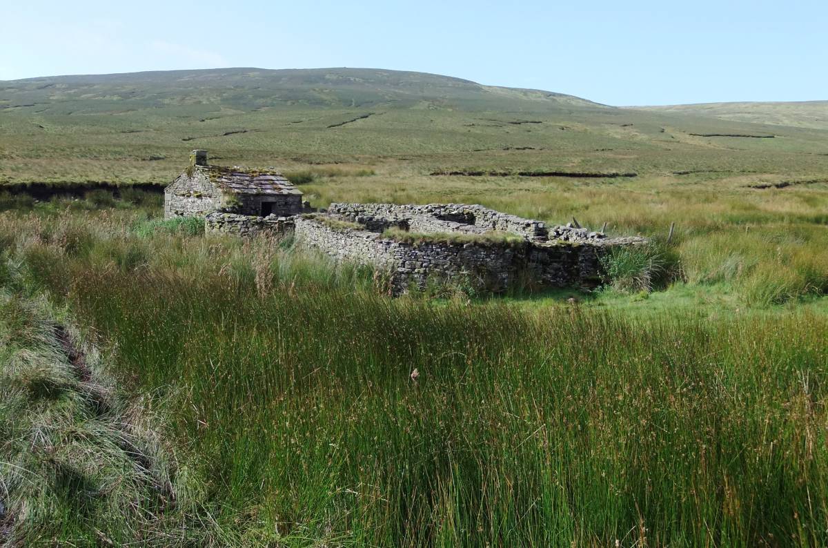
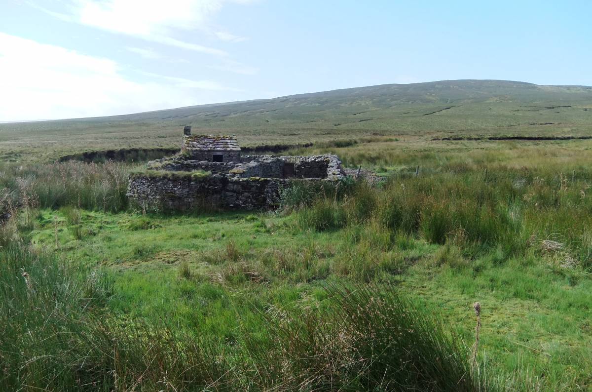
| Record Name | Black Scar House. Sheep fold and bield at Uldale Foot.. |
| Record Description | Perhaps the best preserved of all stone built sheepfold bields in the Dales and a very fine advertisement for Swaledale as it is either the first (or last) sign of human habitation to be seen on the B6270 road from (or to) Nateby and Kirby Stephen into (or from) Upper Swaledale. |
| Dimensions | See photographs |
| Image 1 ID | 3322 Click image to enlarge |
| Image 1 Description | Black Scar House from the B6270 road | 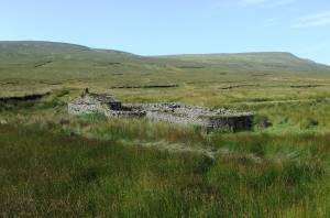 |
| Image 2 ID | 3323 Click image to enlarge |
| Image 2 Description | | 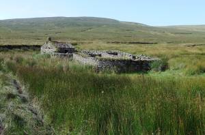 |
| Image 3 ID | 3324 Click image to enlarge |
| Image 3 Description | | 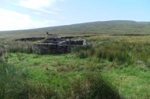 |